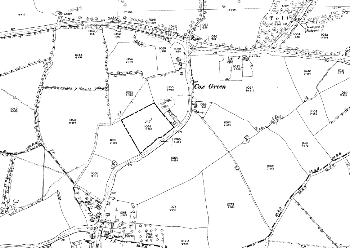
These are at increasing scales, from One Inch (1:63360), to 6 Inch (1: 10560) and 25 Inch (1:2500). Maps over 50 years old are out of copyright.
One inch maps
1909, folded cloth, 1 inch ‘large series’ map, with both hachuring and contours, parish boundary but no gridlines. Map purchased in Hay-on-Wye bookshop
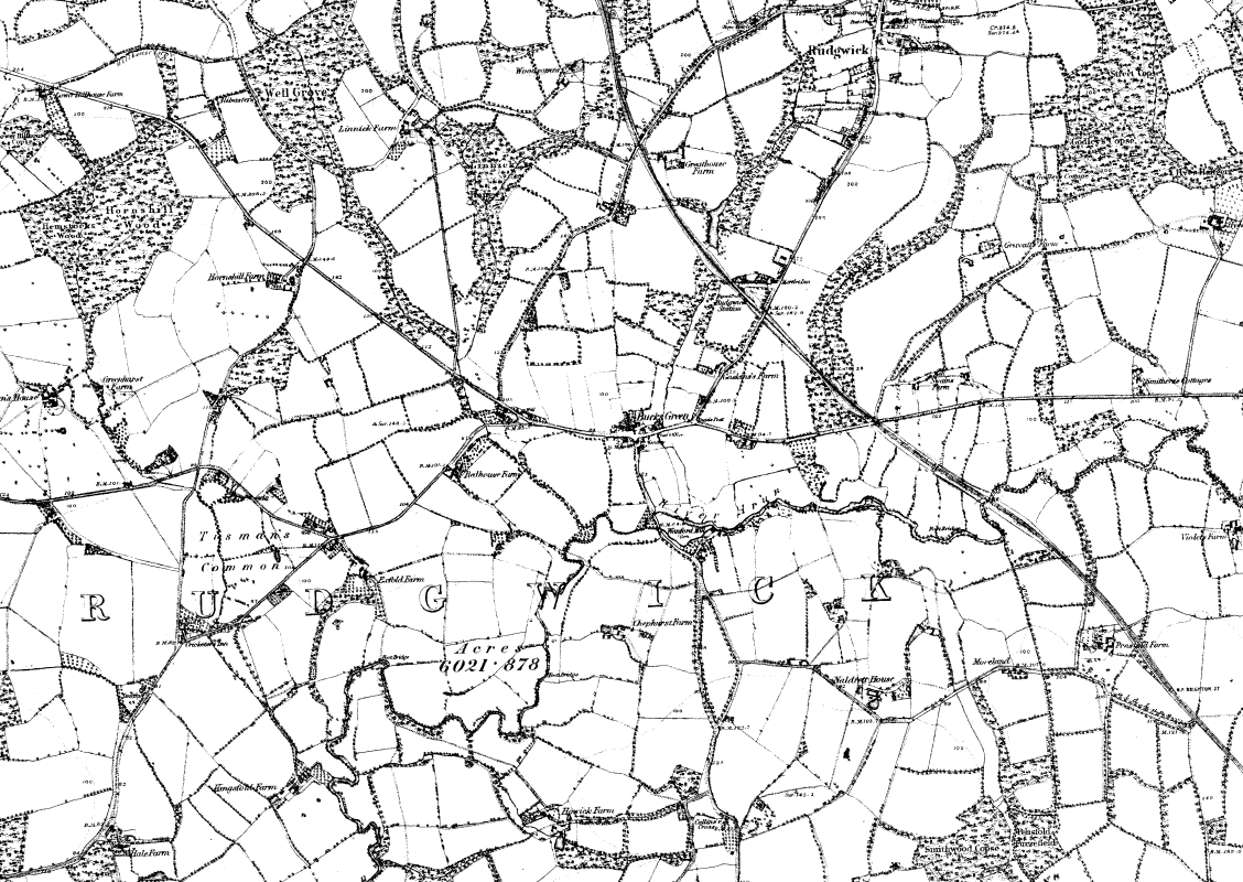
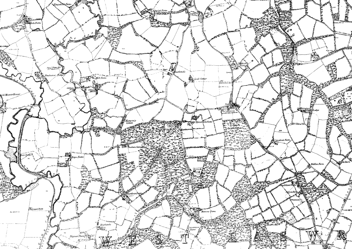
Six inch maps
1880 Rudgwick, Bucks Green & Tismans Common 1:105601898 Rudgwick, Bucks Green,& Tismans Common 1:105601880 The Haven 1:105601898 The Haven 1:105601880 Rowhook 1:105601898 Rowhook 1:10560
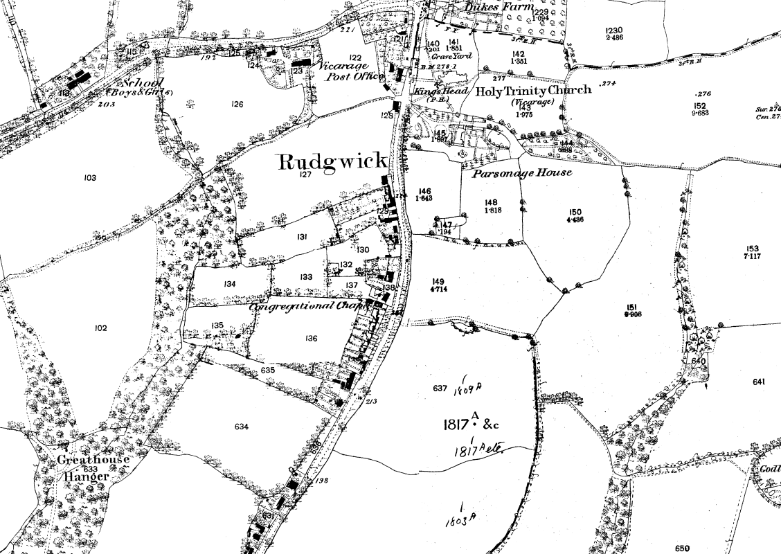
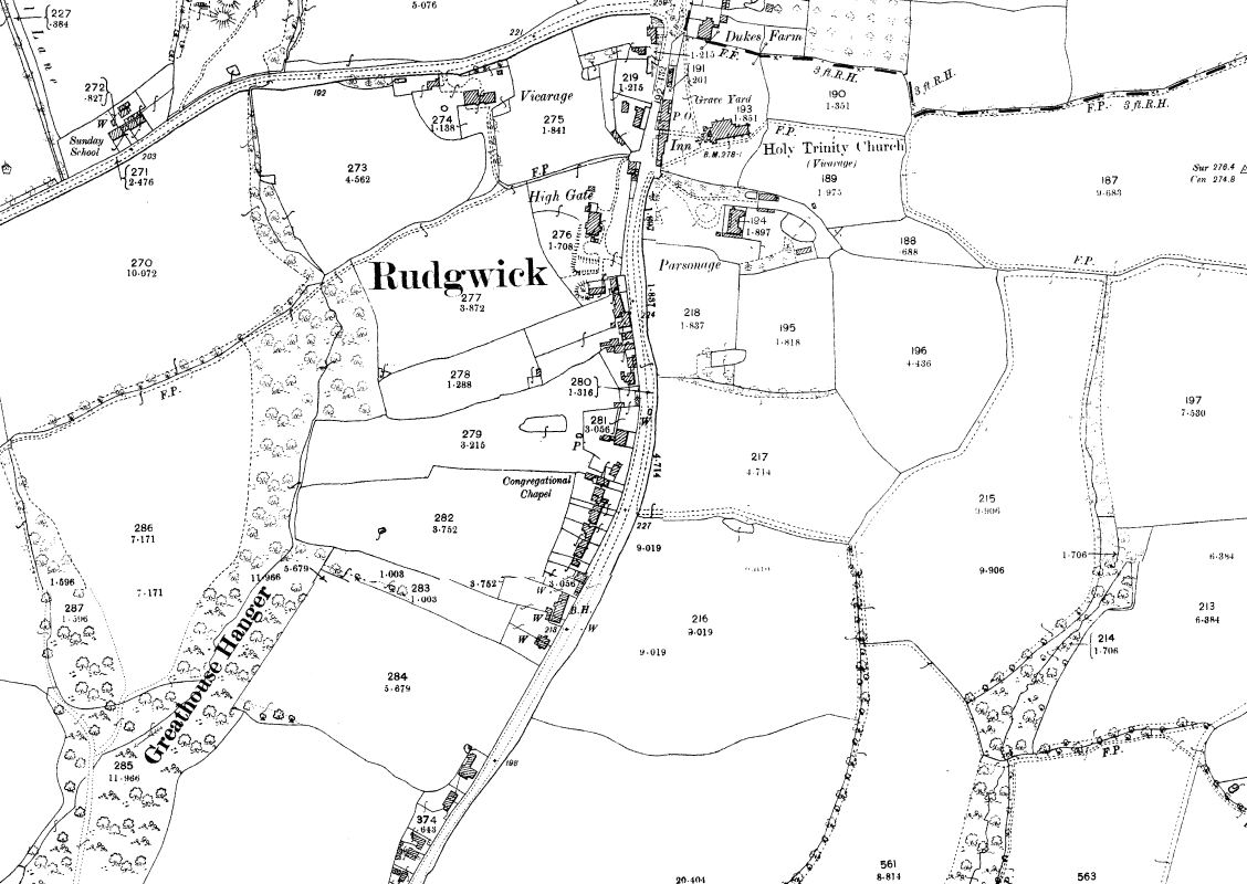
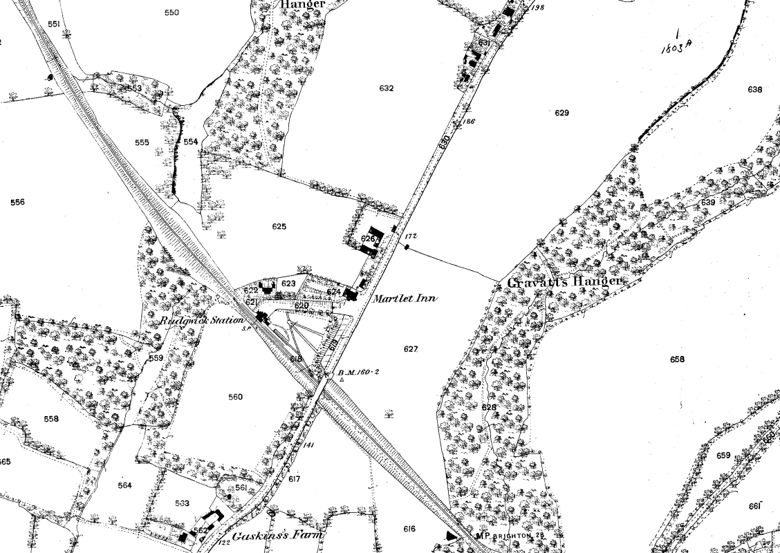
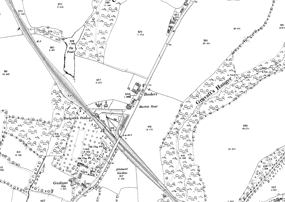
25 inch maps – Rudgwick
1876 Rudgwick Village, 1:25001898 Rudgwick Village 1:25001912 Rudgwick Village1:25001876 Rudgwick Station, 1:25001898 Rudgwick Station 1:25001912 Rudgwick Station 1:2500
25 inch maps – Bucks Green
1876 Bucks Green, 1:25001898 Bucks Green 1:25001912 Bucks Green 1:2500
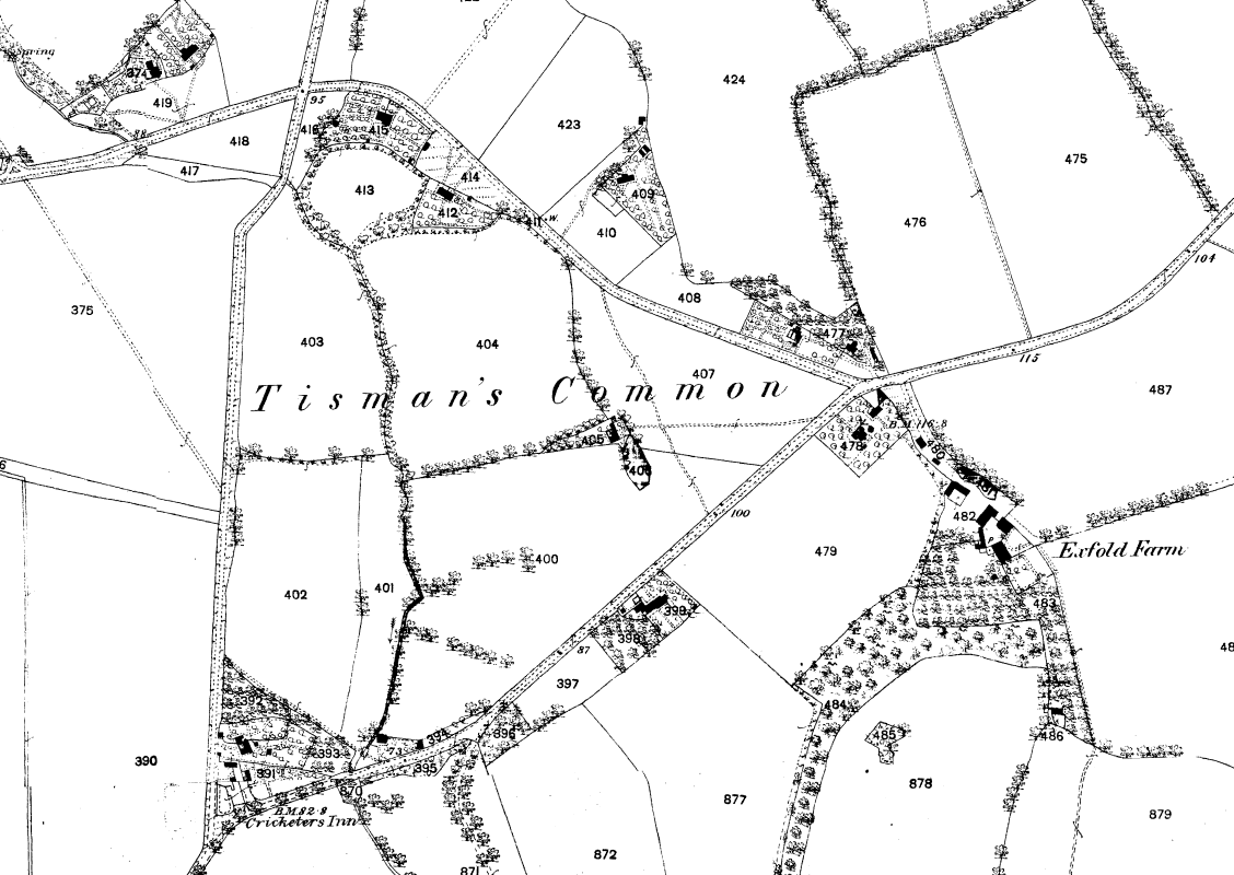
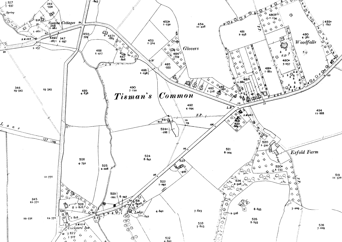
25 inch maps – Tismans Common
1876 Tismans Common 1:25001898 Tismans Common 1:25001912 Tismans Common 1:2500