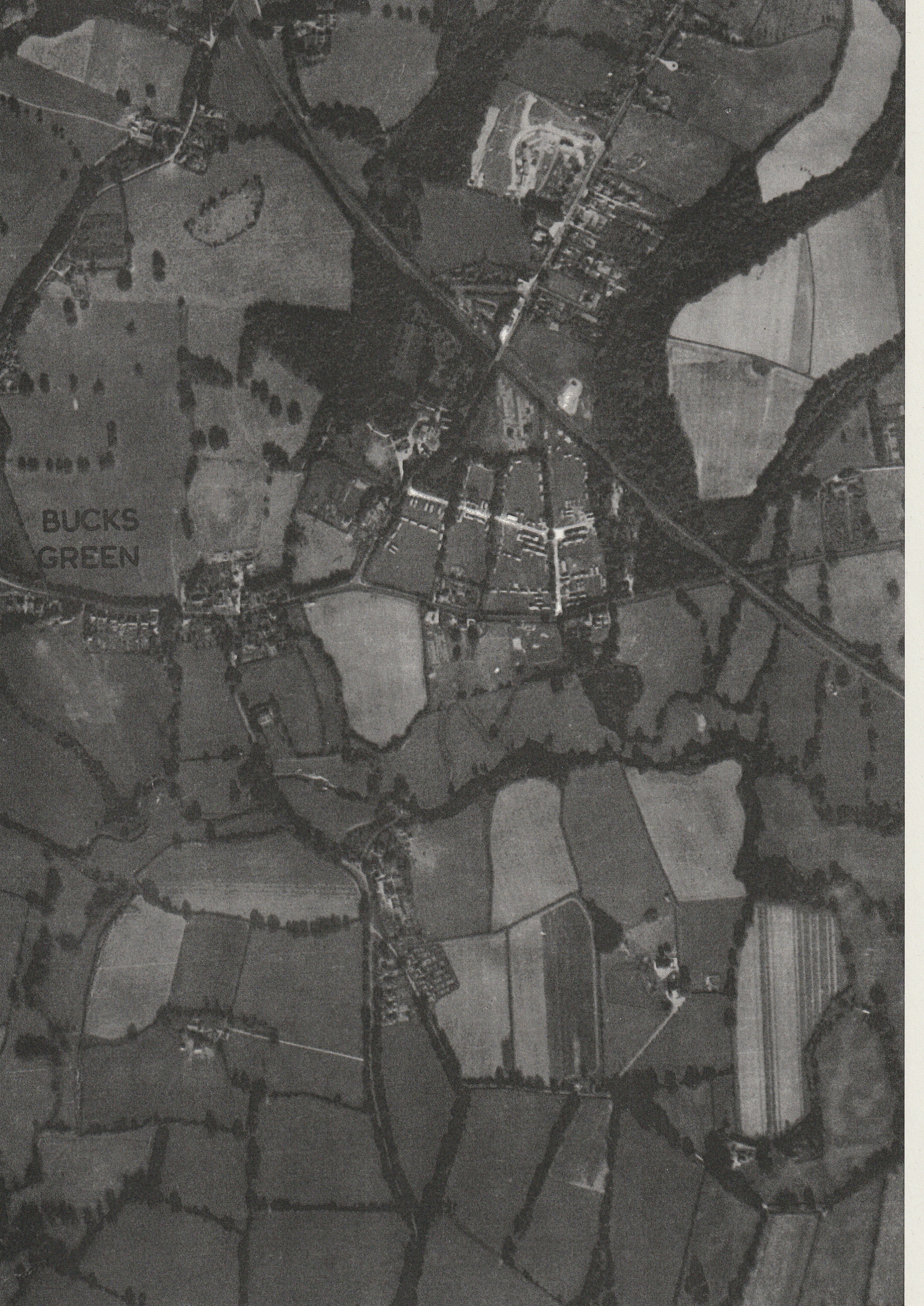
1947 vertical air photo of part of Bucks Green & Rudgwick. of special interest because it shows: 1. army camp, now Queen Elizabeth Rd, Primary School etc; 2. King George’s Field under development; Furze Road under construction; allotments where The Marts now is; Gaskins House gardens where Gaskyns Close now is.
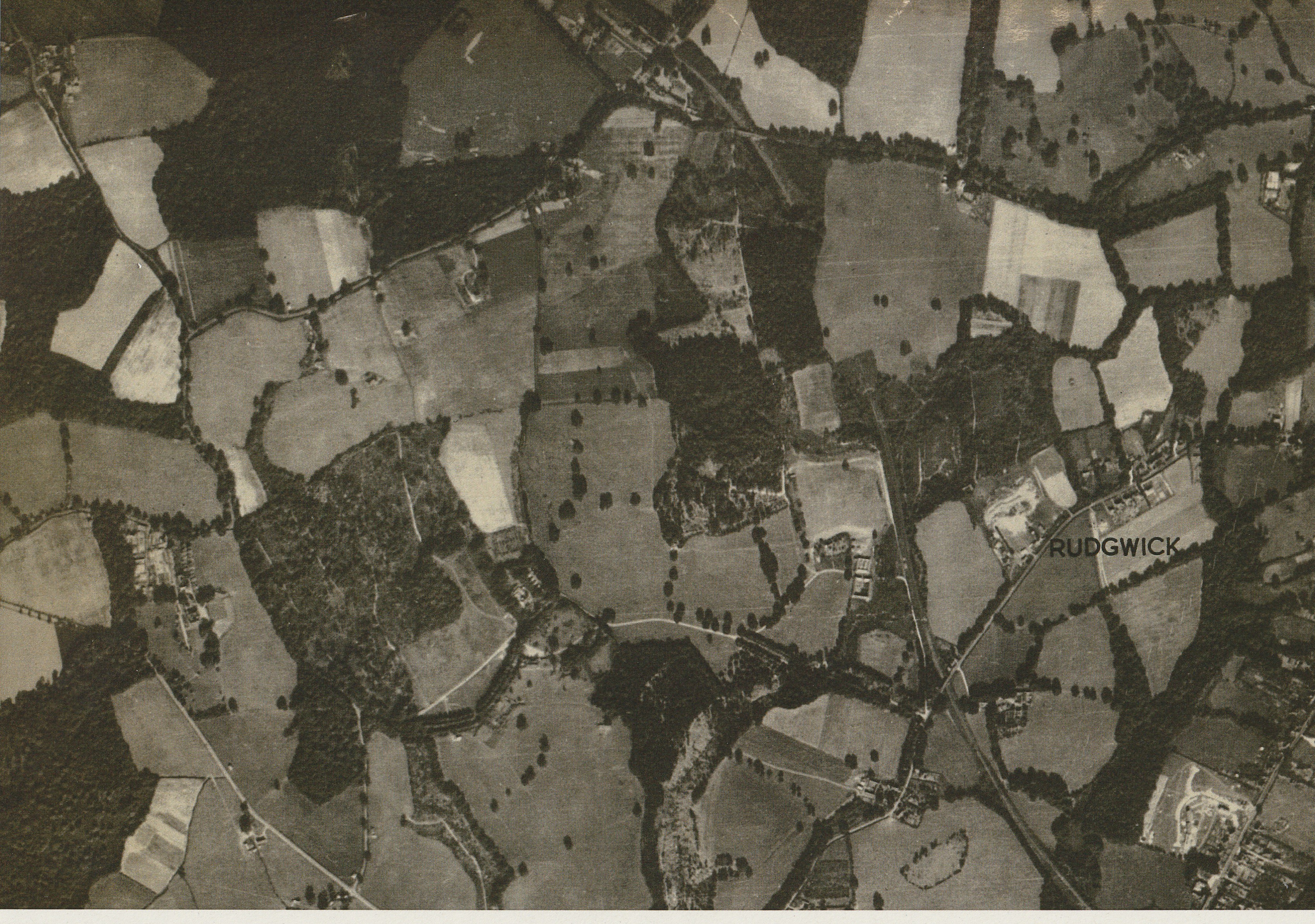
1947 vertical air photo of west side of Rudgwick: Lynwick Street, Rudgwick Brickworks, Lynwick House, Woodsomes Farm, Baynards Tunnel and Baynards Manor.
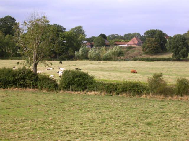
Arun valley at Hope, farmed with conservation in mind
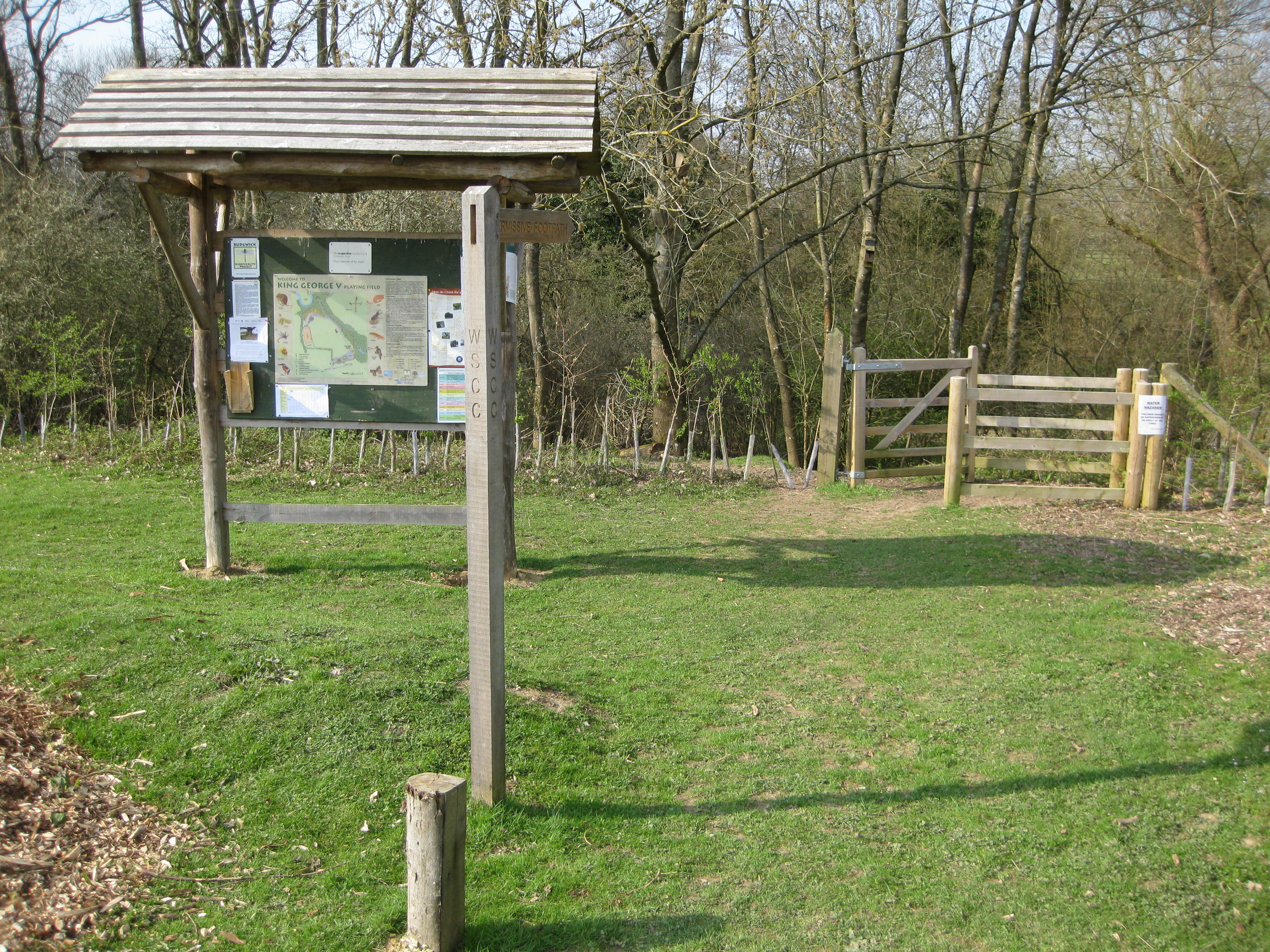
Rudgwick Biodiversity Project was started by enthusiast Trevor Nash, with assistance from RPS and under the guidance of RPC. the permissive path gives access to the hanger and wetland of a stream alongside King George V Field. The Project has its own website.
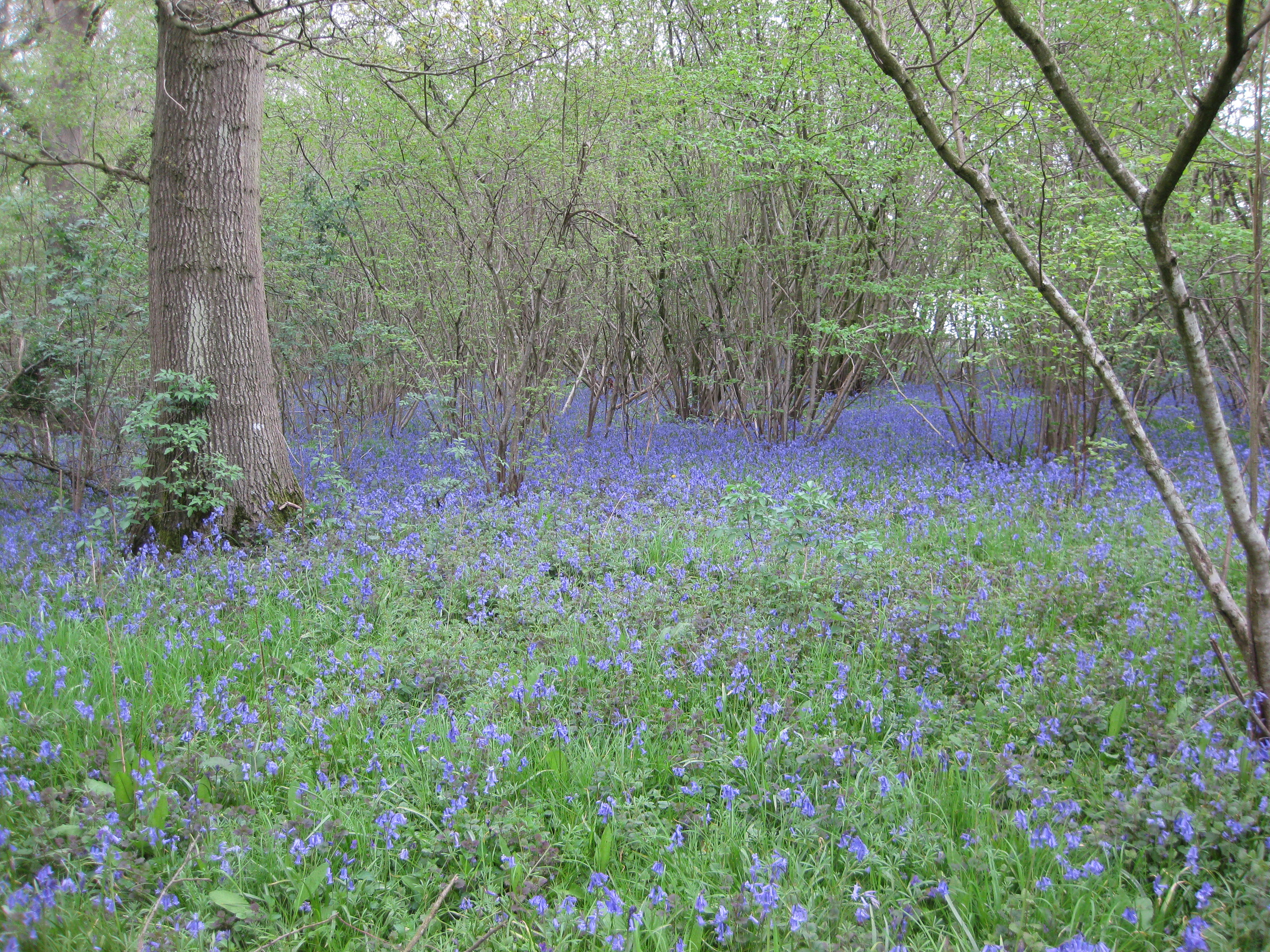
Bluebells in April under hazel coppice, Weyhurst Copse
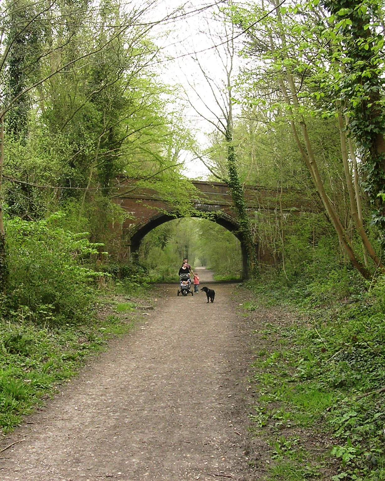
The Downs Link footpath now follows the wooded former railway line. this photo is right in the centre of Rudgwick where the bridge carries Church Street
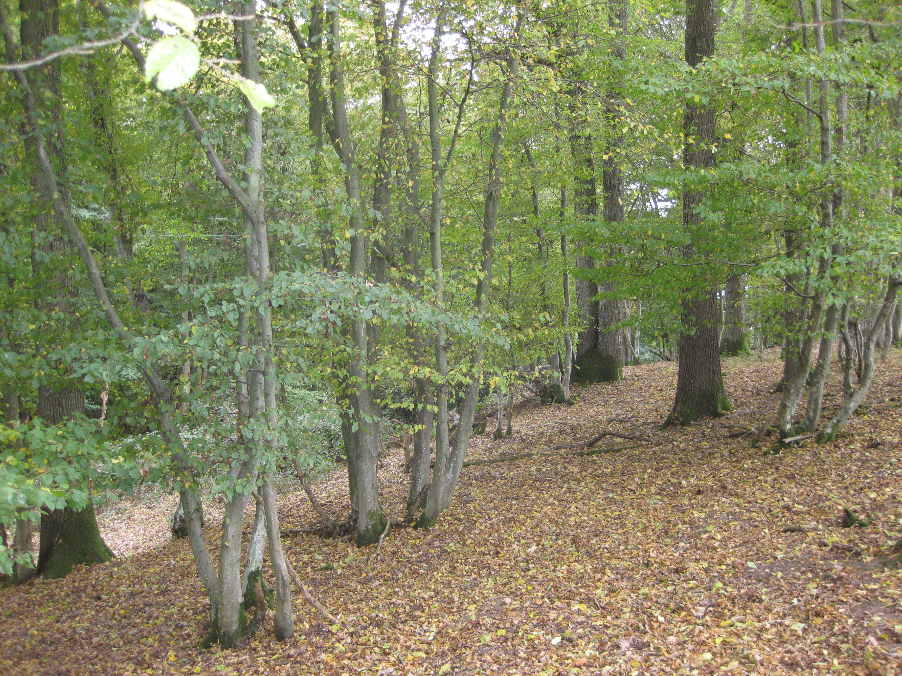
Hanger woods follow the south flowing stream tributaries of the Arun, here at Well Grove – coppiced hornbeam under oak standards.
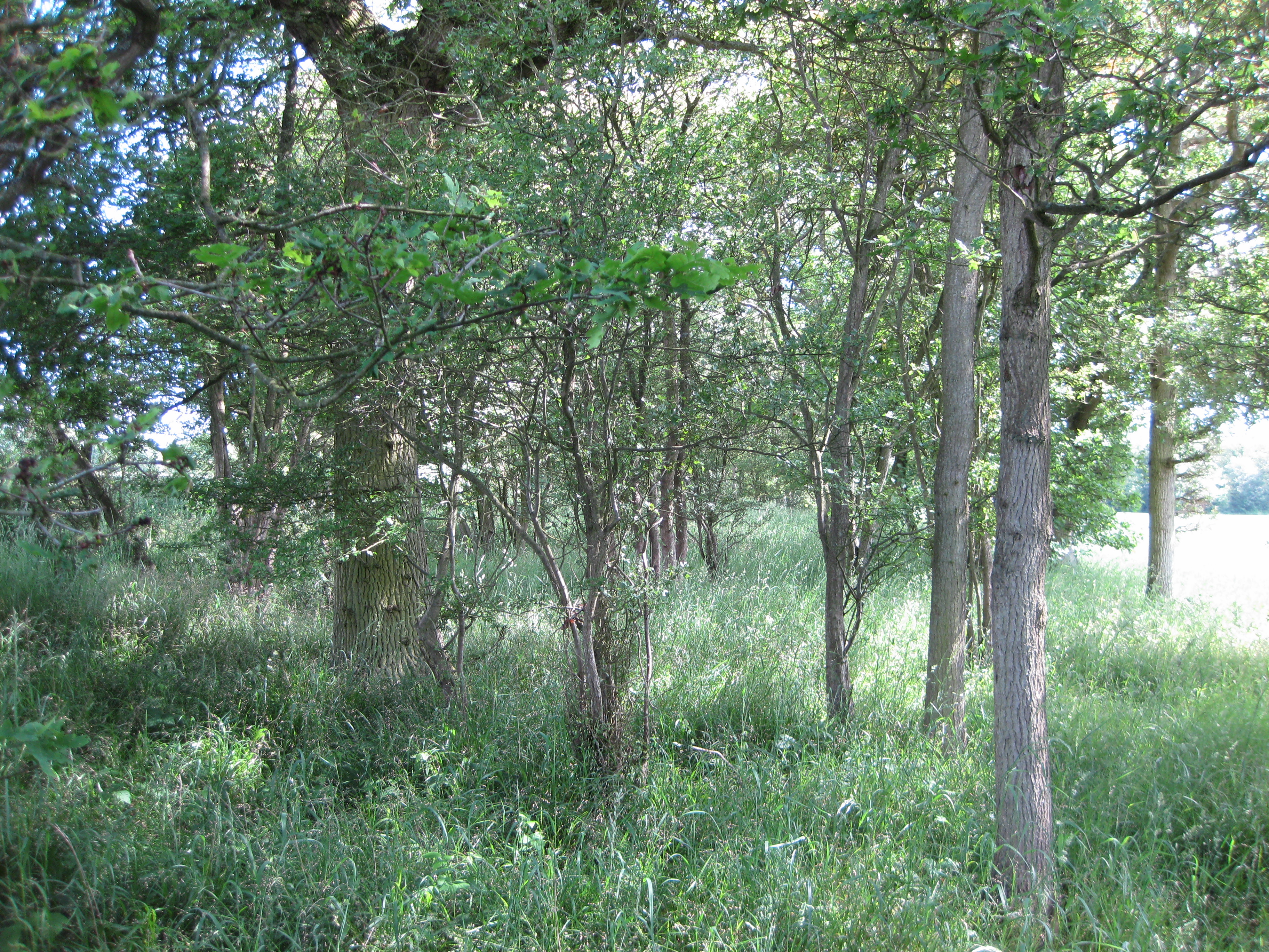
Almost all Rudgwick’s fields were surrounded by shaws rather than hedges up to the C19th, but many have been removed or degraded now that there is no use for their timber and faggots. This one is in The Haven
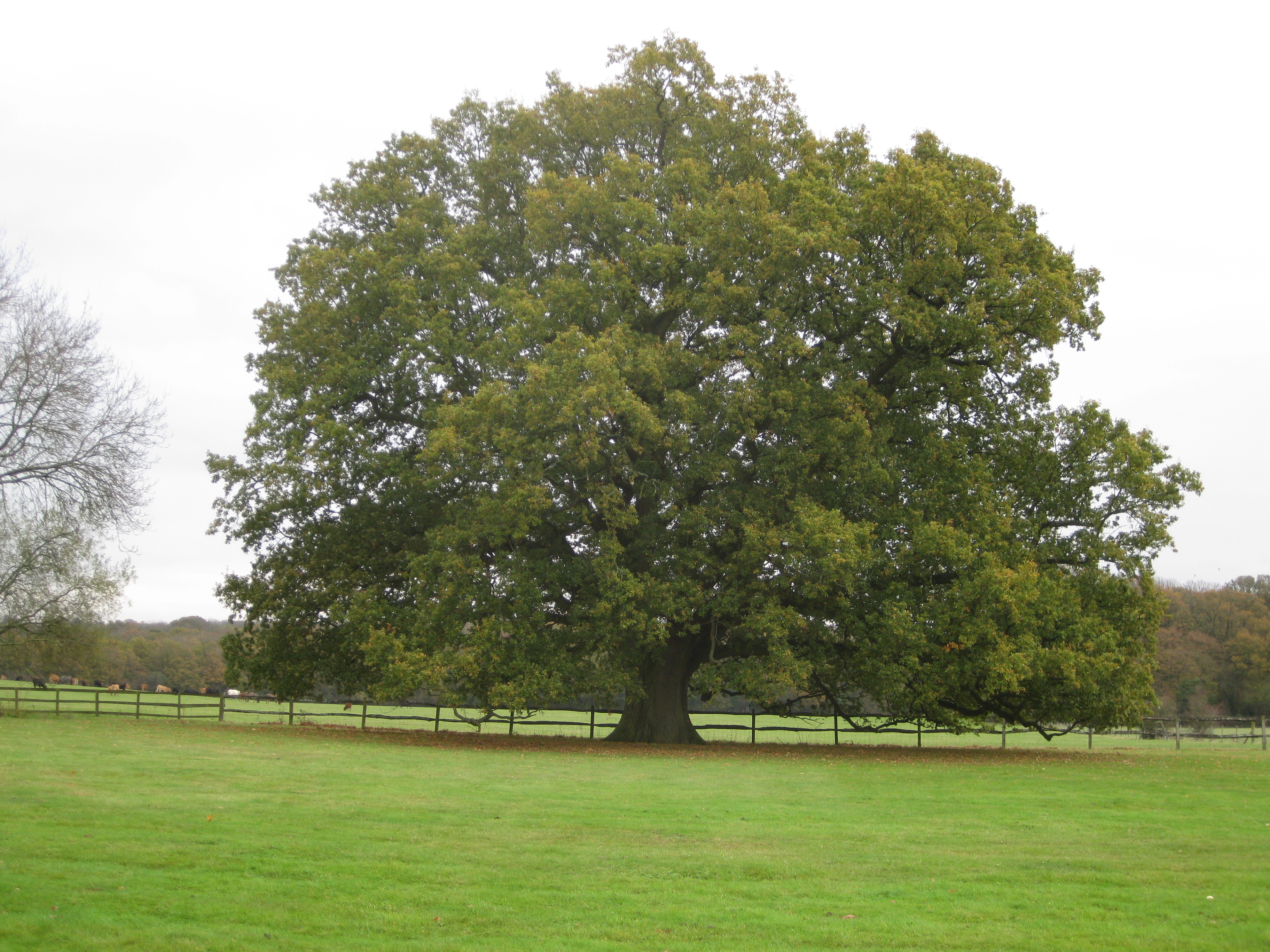
A number of ancient oak trees have survived and are registered onlne. This beautiful specimen is behind Hatches on Lynwick Street
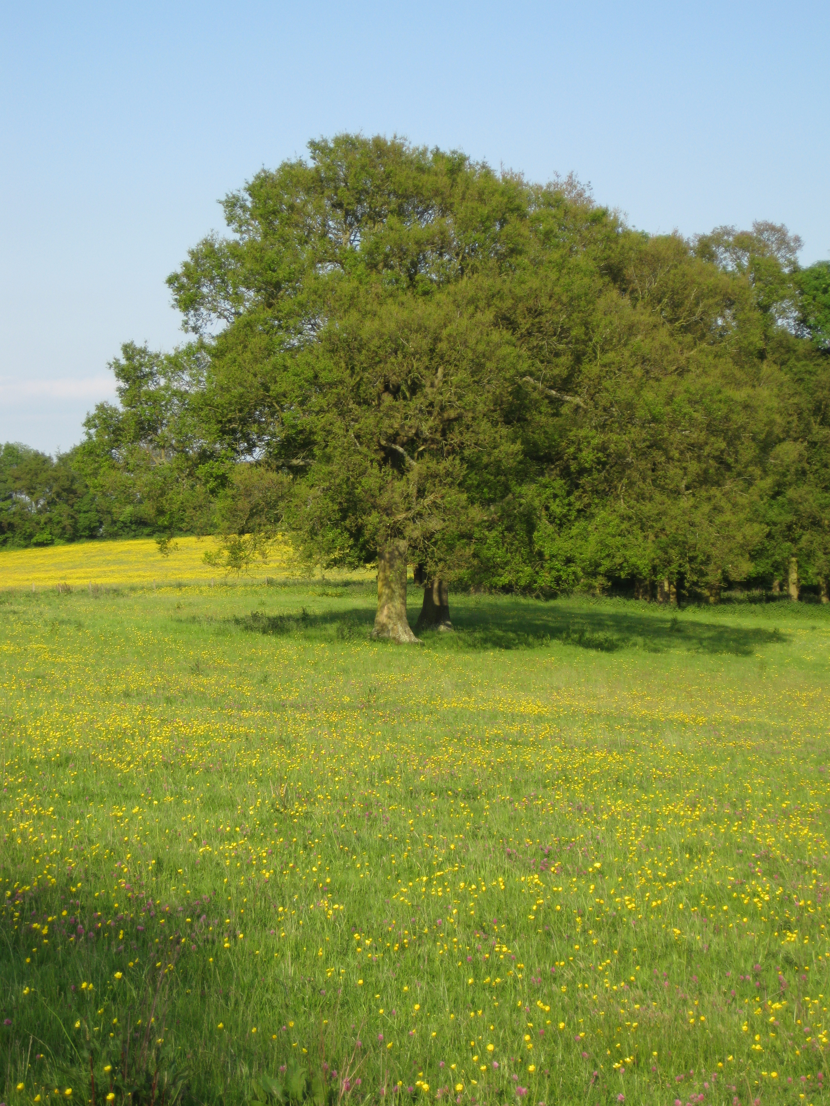
These oaks mark the county and parish boundary, above what was until recently Rudgwick Brickworks, seen from the Border Path
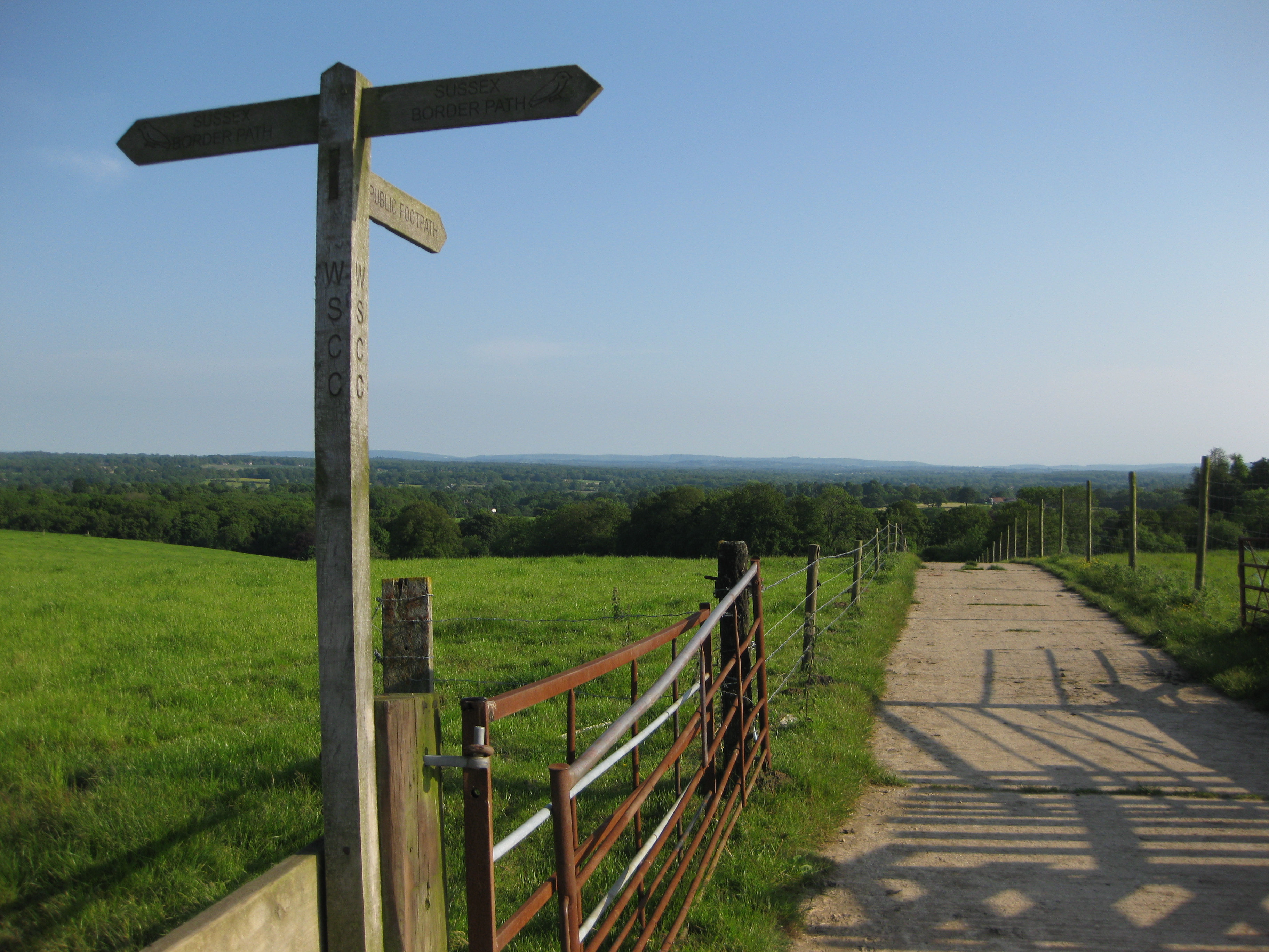
Rudgwick Ridge provides vantage points with views to the South Downs. Here the Sussex Border Path crosses the track up from Lynwick